| CHIPPEWA COUNTY POPULATION TRENDS | |
|---|---|
| YEAR | POPULATION |
| 2018 | 37,517 |
| 2017 | 37,714 |
| 2016 | 37,718 |
| 2015 | 37,980 |
| 2014 | 38,242 |
| 2013 | 38,560 |
| 2012 | 38,981 |
| 2011 | 38,877 |
| 2010 | 38,611 |
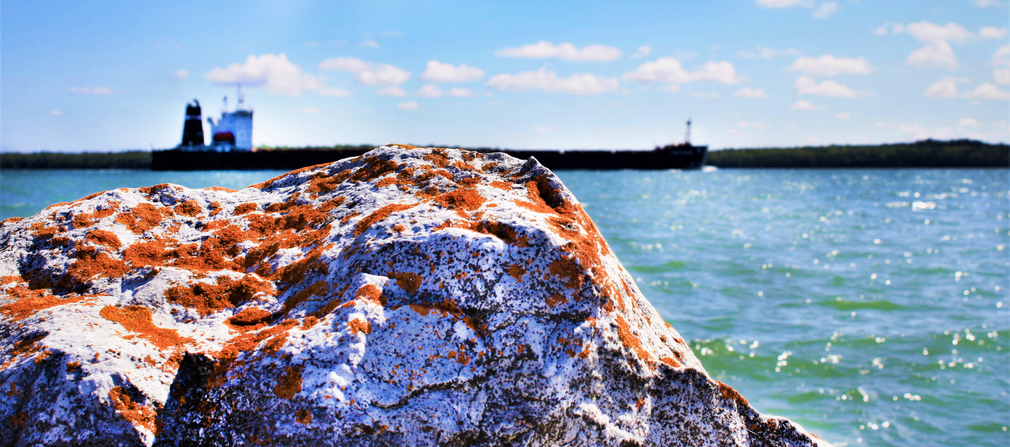
Chippewa County is located in the northeastern corner of the Upper Peninsula and is connected by bridge to Ontario, Canada. This 2,698-square-mile County is the most populous in the region, with more than 39,000 residents as of the 2010 census. It is also the second largest County in Michigan by land area. Chippewa County enjoys miles of shoreline along the St. Marys River, as well as frontage on Lake Huron and Lake Superior. Inland, the County is the perfect mix of forest, agricultural land, and urban center. The County seat is located in Sault Ste. Marie – home to the famous Soo Locks. Chippewa County was founded in 1826 and was a home to Ojibwe (Chippewa) Indians long before that. Today, the County is home to the Sault Tribe of Chippewa Indians and the Bay Mills Indian Community.